
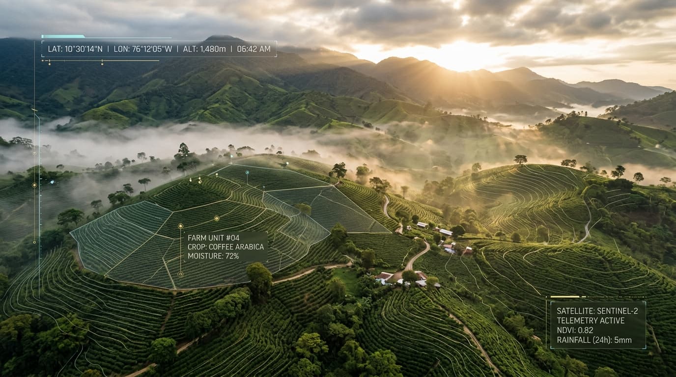
First-Mile
Georeferencing.
Proven Results.
Support your export compliance for European markets. Capture parcel perimeter polygons offline in the field and generate GeoJSON dossiers with digital security seals (UID).
How Far Does the Platform Reach?
Precision Perimeter Mapping for Every Sector
Follow the perimeter trajectory. Each numbered vertex illustrates a key regulated commodity preparing for European market compliance.
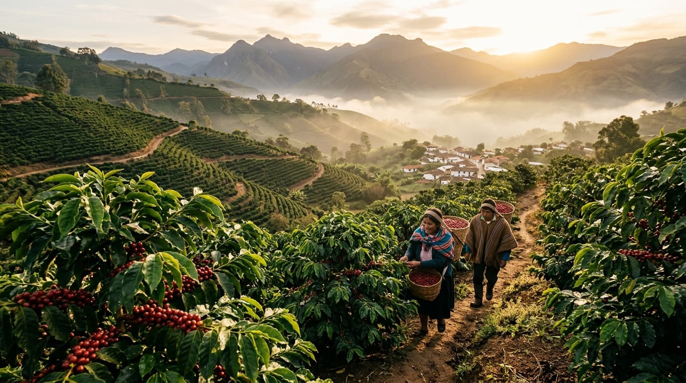
Coffee Plantations
Map micro-lots and highland shade-grown coffee parcels. Enable green or specialty coffee shipments to include verified field perimeters and preliminary post-2020 deforestation checks.
Cocoa Plantations
Engineered for cacao cultivated under forest canopies in humid tropical regions. Distinguishes productive agroforestry canopy from primary deforestation to support due diligence.


Oil Palm Plantations
High-throughput topological boundary verification for commercial oil palm blocks. Scales seamlessly from the 6th hectare upward at $3 USD/ha, verifying that fresh fruit bunches originate from documented pre-2020 production areas.
Cattle Ranching & Leather
Georeference rotational grazing paddocks and silvopastoral systems. Generate technical records supporting due diligence for deforestation-free livestock supply chains.


Which Agricultural Supply Chain Do You Need to Georeference for Europe?
Whether you produce coffee, cocoa, palm, rubber, timber, soy, or livestock, AxisTrace provides the first-mile georeferencing dossier required to support your export due diligence.
Bridging Nature & Data for
Frictionless European Market Access
From on-site perimeter footpaths to satellite remote sensing and automated customs dossiers.
Digital Field Perimeter Walk
Field operators walk parcel boundaries. AxisTrace logs coordinates automatically with deadband kinematic filtering that rejects GNSS multipath bounces.
Satellite Deforestation Audit
Cross-checks parcel boundaries against satellite records, strictly auditing forest loss indicators after the December 31, 2020 regulatory cutoff.
Due Diligence Pre-Validation Dossier
Automated generation of A4 cartographic PDF reports with QR verification and standardized RFC 7946 GeoJSON files formatted for customs systems.
Transparent Per-Lot Pricing
You or your field technicians survey parcels using your own smartphones. Pay strictly per processed lot—no recurring lock-in fees.
Digital Walk Pass
On-site self-service mapping with the operator's phone.
- Pocket mode with inertial telemetry to mitigate tampering
- Copernicus & GFW post-2020 satellite cross-check
- A4 Cartographic PDF report with QR
- RFC 7946 GeoJSON with Integrity Identifier (UID)
Corporate Bulk Pack
For producer associations, cooperatives & exporters.
- 100 mapping passes for internal technicians
- Centralized dashboard for member lots
- Bulk batch export compatible with TRACES NT
Start Georeferencing Today
100% Field self-service on your smartphone. Zero mandatory monthly subscriptions.